Maps and Accessibility: TechSharePro 2021
Jess Cahill | 14 Feb 2022AbilityNet’s Accessibility and Usability Consultant, Jess Cahill hosted a network session at TechShare Pro 2021 on maps and accessibility. In this article, Jess reflects on some of the issues, provides further insight into accessible maps, and discusses why they are important.

If you're a keen follower of web legislation, you’ll know that the Public Sector Bodies Accessibility Regulations (PSBAR) state that public sector websites must be accessible. However they give an exemption for "online maps and mapping services, as long as essential information is provided in an accessible digital manner for maps intended for navigational use". In other words - making maps accessible is too difficult and you can give up. Can this be right?
Learn about the purpose of various accessibility legislations, the paths to comply with them and ways to approach claims in our upcoming training course.
Making maps accessible
Map accessibility falls into two main areas: 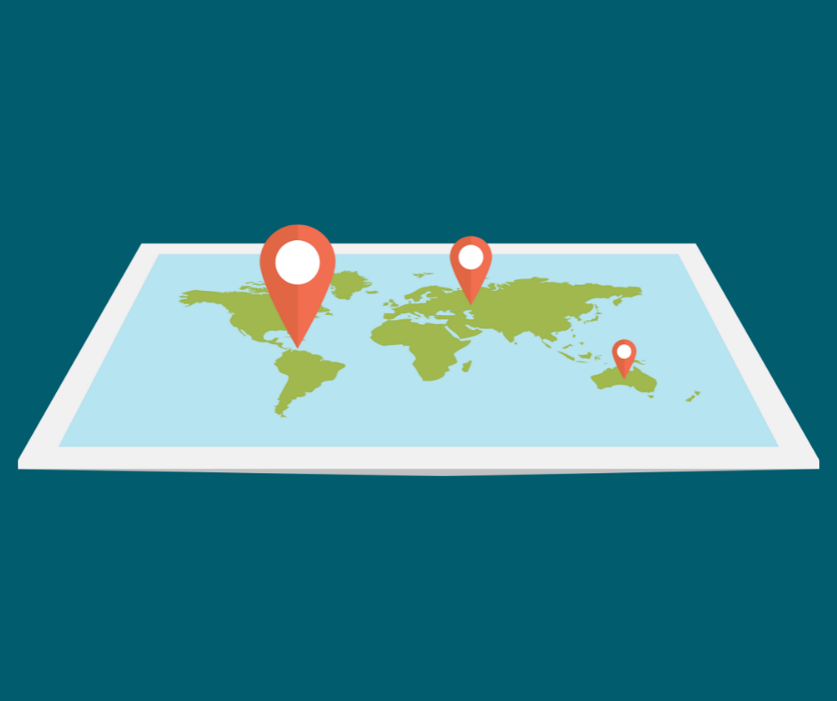
- Accessible controls. The first is about making sure that the controls are accessible. Can you operate the buttons and zoom controls if you navigate with a keyboard because you can’t use a mouse? Can you see where the focus is? Are the symbols clear, consistent and unambiguous? DEFRA have a GitHub page with some excellent guidelines.
- Accessible information. The second is a more challenging issue: how to make the information in these inherently visual interfaces accessible to visually impaired people. You can make a map more accessible by ensuring users can zoom in, enlarge the labels etc, and that your colours have sufficient contrast to be distinguished by anyone with non-standard colour vision, but this does not help a user who relies on a screen reader to access web content.
What are maps for?
So what do maps help us do, or understand? PSBAR maintains that navigational use is the only purpose you need to care about. Disabled people only need maps to get from A to B. In reality, maps are used for a huge variety of tasks.
In fact, maps aren’t even necessarily the most efficient way of navigating. They tell you where something is, but in a busy urban environment with complex transport options that doesn't clearly tell you how you would get somewhere or how long it would take you. Most navigational map products use turn-by-turn text instructions when giving actual directions, and that’s relatively easy to make accessible.
Maps can even be treated as a progressive enhancement – a “nice to have” for people who can access it, but not essential.
But what about other uses of maps?
If a map is for finding information, say whether your house is in a catchment area for something, then a postcode checker may be a better alternative.
A major use of maps is for data visualisation. These can often be treated in the same way as complex infographics. You can provide the data in an alternative format such as a table, and then if you want to hide it away tidily, provide a link to it. If the map is just an image, you can give it alternative text (this is announced by a screen reader), referring the user to the table.
There’s a lot of “incidental” information you can get from maps though. One thing I love about maps is the ability to explore an area beforehand and find out what is there, places you wouldn’t have thought of that you might like to visit perhaps (as one TechShare Pro 2021 session contributor said “that’s advertising in Google Maps”). There is also the question of spatial relationships. Where is this place in relation to other places I might be interested in? This kind of exploration and building of mental maps doesn’t translate well to a linear, text interface.
What do we need from maps?
Incidental information matters because what might be incidental to one person may be crucial to another, and vitally, disabled people are often more in need of advance planning, particularly before going somewhere for the first time. People may have questions like:
- Is this likely to be a busy environment? (For example, someone non-neurotypical or with a mental health issue)
- How long is the walk from the bus stop? (For example, a person with joint pain)
- Is there a very near dropping off point for taxis? (For example, a wheelchair user)
- How will I know when I have arrived? (For example, someone with sight loss)
Not to mention how accessible they will find their destination when they do arrive.
There are quite a few specialist tools aimed at enabling disabled users to navigate unfamiliar environments. 
Wheelmap is a crowdsourced project mapping wheelchair accessible public places. You can find out more and contribute if you can on the Wheelmap website.
Microsoft Soundscape helps visually impaired users get a sense of the street layout.
TouchMapper is a tool for generating 3D printing files for tactile maps.
There are also various systems for navigating indoor environments, mostly using geo beacons.
Who makes the maps?
As a volunteer with the Missing Maps humanitarian mapping project, I’m involved in making maps. But many or even most mapping interfaces are not built with accessibility in mind.
 If a range of disabled people were extensively involved in planning and designing maps, might they be significantly different? As a disabled person, my map of the world might be very different from a non-disabled person, in terms of what I can access and what features are prioritised. There might be large areas that are “here be dragons” because I’m never going to be able to go there. Other areas might be heavily detailed, and specific features might be extremely prominent.
Conclusions
This article might be a start to a user research project. If you're facing challenges like this, we can help in lots of other ways too. We can audit your website or app for compliance with PSBAR or WCAG, but we can also shed light on how well it works in practice for disabled people through testing with our database of disabled users. We can review your early designs, and we can also train up your team to deliver accessible, inclusive digital products and services from beginning to end. Find out more about our services.
Credits
With thanks to members of the OpenStreetMap Accessibility mailing list, attendees of the TechSharePro accessible GIS networking session and Mikel Maron’s blog for OpenStreetMap: The best world map for accessibility.